
Severe Thunderstorm Watch Spurs Flooding Concerns in Minnesota and Wisconsin Amid Heavy Rainfall
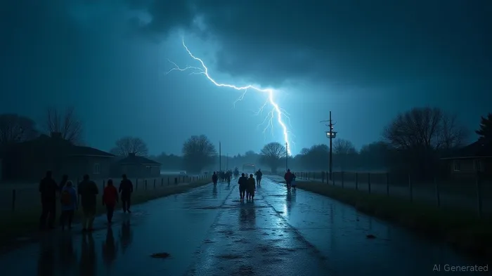
The recent weather activity across the Northland on July 15 and 16 was marked by a series of severe thunderstorms and significant rainfall, affecting regions in Minnesota and Wisconsin. Initial strong storms developed near the northern International border and moved toward the Arrowhead region of Minnesota by Tuesday morning, eventually intensifying in the afternoon across both states. The National Weather Service responded to these developments by issuing multiple Watches, Warnings, and Advisories, focusing particularly on the threat of flooding in North West Wisconsin, where a Flood Warning was in effect.
Rainfall reports collected through the National Weather Service provide a detailed account of the precipitation volumes in several counties. On July 16, Douglas County observed substantial rainfall with 5.23 inches recorded at 10 ENE Gordon at 7:00 a.m., while Bayfield County had multiple entries above three inches, including 5.11 inches at 13 E Solon Springs. St. Louis County was notably affected, with measurements reaching 4.37 inches at 1 SSE Aurora, and Lake County recorded 4.18 inches at 1 N Knife River.
Meteorological forecasts anticipate showers throughout the morning, with temperatures remaining cooler. This marks a notable shift from the preceding hot and humid conditions, which fueled the storm activity. Forecasts predict that scattered strong to severe thunderstorms could continue into Wednesday morning, propelled by a slow-moving cold front that brings potential for renewed rain events.
On July 15, the National Weather Service had issued a Severe Thunderstorm Watch for the northern Twin Cities metro area, active until 10:00 p.m. This watch extended across northern regions from St. Cloud to DuluthDLTH--, with southern reaches including areas such as St. Michael, RogersROG--, and Maple Grove. The watch highlighted risks of gusty winds and potential flash flooding, while incorporating possibilities for large hail and isolated tornado activity.
Meteorologists estimated that storms capable of producing large hail and damaging winds were likely, with flash flooding possible due to expected rainfall amounts ranging from 1 to 2 inches in many areas. These conditions necessitated preparedness for potential disruptions during the Wednesday morning commute.
Throughout Minnesota, a level 1 marginal and level 2 slight risk of severe weather was assessed, with threats categorized as hail, strong wind gusts exceeding 60 mph, and localized downpours. These elements underlined the potential severity of the weather patterns as they moved southeast into the humid air mass over southern parts of the state. Analysts predict that while the severe threat would largely confine itself to the evening, the storms could persist overnight into the next morning.
The weather conditions from July 15 indicate a complex pattern influenced by regional meteorological factors. The combination of high dew points and elevated temperatures created an environment ripe for severe weather activity, as demonstrated by the extensive storm reports and widespread impacts across Minnesota and Wisconsin.
As the storms pass, forecasts signal a shift to cooler and less humid weather later in the week, providing relief and clearer skies. By Thursday, regions affected by the recent turbulence can expect sunshine and dry air, promising more pleasant conditions with mild temperatures and lower humidity.
Overall, the severe thunderstorms brought notable disruption and significant rainfall, necessitating weather alerts and advisories. As analysts continue to monitor the evolving patterns, attention remains focused on post-storm recovery and the anticipation of improved weather conditions in the coming days.
In conclusion, the severe weather watch underscored the dynamic and unpredictable nature of weather systems, with significant implications on local precipitation, safety alerts, and community preparedness efforts in Minnesota and Wisconsin.
Stay ahead of the market.
Get curated U.S. market news, insights and key dates delivered to your inbox.


AInvest
PRO
AInvest
PRO
Comments
No comments yet