
Severe Thunderstorm Warning: Nebraska Power Outages Surge Amid 91 mph Winds
Severe thunderstorms have been sweeping through Nebraska and Iowa, prompting the National Weather Service in Omaha to issue multiple warnings and watches across several counties. Burt, Dodge, Douglas, Saunders, Cass, Washington, Lancaster counties in Nebraska, and Mills, Pottawattamie, and Harrison counties in Iowa are under a severe thunderstorm warning, underscoring the urgency of the situation. As destructive wind gusts make their way through the region, meteorologist Caitlin Harvey noted the absence of a tornado threat, yet emphasized the dangers posed by wind gusts of up to 80 mph and quarter-size hail. Emergency sirens have been activated in response to the storm, alerting residents to seek immediate shelter.
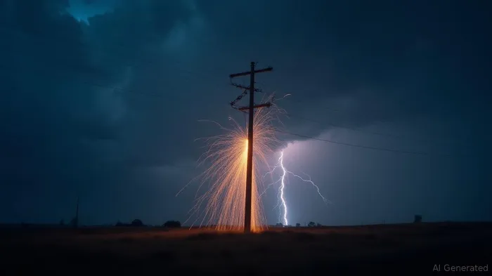
In Lincoln, Nebraska, winds have reached a staggering 91 mph, resulting in widespread power outages affecting over 30,000 customers, including more than 8,000 in surrounding areas like Seward and Waverly. As of early Saturday morning, the impact on the power grid was notably severe, with substantial disruptions persisting. The thunderstorm track continues eastward, emphasizing the need for caution as it crosses major roadways like Interstates 29 and 80.
The threat level following the storms' progression remains significant, with the Storm Prediction Center highlighting a marginal risk for parts of eastern Nebraska and western Iowa, including the Omaha metropolitan area. Expect continued strong wind gusts possibly reaching 60 mph, coupled with heavy rainfall that could result in minor flooding in low-lying areas. Residents are urged to be vigilant, with additional storm activity anticipated late Saturday and early Sunday.
Several watches remain in effect: severe thunderstorm watch 579 includes numerous counties in central and southeast Nebraska and parts of southwest Iowa. Cities such as Omaha, Bellevue, and Lincoln could face further disruptions. The hazards extend to damaging winds capable of jeopardizing mobile homes and causing extensive damage to trees, roofs, and vehicles, with likely resultant power outages.
As the severe weather unfolds, the National Weather Service warns the public of potential destructive winds and advises taking shelter in sturdy structures away from windows. Continued caution is advised, with additional rounds of storms expected, which may exacerbate flooding risks in flood-prone locations.
Residents are urged to monitor local advisories closely and prepare for potential escalations in storm intensity. Analysts predict storms will weaken as they move into central Iowa after sunrise, providing a short respite before possible reintensification later in the day. The emphasis remains on preparation and safety precautions, such as securing property to minimize damage and avoid travel on affected roads where visibility is poor.
Overall, these severe weather conditions illustrate the vulnerability of infrastructure and communities to extreme meteorological phenomena. The rapid wind-driven disruptions to power services and their lasting effects demand enhanced readiness and resilience planning for future occurrences.
Stay ahead of the market.
Get curated U.S. market news, insights and key dates delivered to your inbox.


AInvest
PRO
AInvest
PRO
Comments
No comments yet