
NOAA Weather Drones Launch New Era in Forecast Accuracy: What This Means for Investors
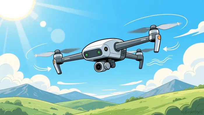
NOAA is using Meteomatics' weather drones to collect lower-atmosphere data, improving forecast accuracy for severe weather events. The partnership fills a critical gap in the national observing system, with drones gathering vertical profiles of temperature, humidity, and wind from 50 to 20,000 feet. The project, part of NOAA's National Mesonet Program, is expected to enhance public safety and reduce disruptions in key industries like aviation and agriculture. Meteomatics is integrating drone data into a framework that turns environmental data into actionable insights for the National Weather Service. This initiative marks a major step in public-private collaboration to improve U.S. weather observation and forecasting capabilities.
NOAA's collaboration with Meteomatics is not just a technical upgrade—it's a seismic shift in how weather data is gathered and used. For years, the U.S. weather observing system has had a blind spot in the lower atmosphere, where most severe weather events originate. Now, through the National Mesonet Program (NMP), NOAA is deploying Meteomatics' weather drones to fill this gap. These drones collect vertical profiles of weather data from as low as 50 feet to as high as 20,000 feet—an area that traditional ground-based systems struggle to monitor effectively. The result? More accurate and timely forecasts for thunderstorms, fog, and winter storms, which could have wide-reaching implications for industries that rely on precise weather intelligence, from aviation to emergency management.
Why Is NOAA Integrating Weather Drones into Forecast Models?
NOAA's National Weather Service (NWS) has long faced challenges in predicting short-term weather events. This is especially true for low-level phenomena like fog and wind shear, which are notoriously hard to track with existing tools. Meteomatics' drones offer a solution: they can be deployed quickly and operate remotely from a Meteobase in Oklahoma, gathering real-time data that can be fed directly into forecasting models. This capability is more than just a scientific advancement—it's a commercial opportunity. Better weather forecasts mean fewer flight cancellations, fewer agricultural losses, and more efficient supply chain planning. For investors, this means industries that are vulnerable to weather disruptions could see a significant reduction in operational risk over time.
What Does This Mean for Investors in Weather-Dependent Sectors?
The economic implications of more precise weather forecasting are vast. Airlines, for instance, lose billions each year in delays and cancellations due to unexpected weather. With better data, these companies could adjust routes more proactively and reduce costs. The same logic applies to agriculture, where crop yields depend heavily on weather patterns. Energy companies, too, will benefit—particularly those in renewable energy, which rely on wind and solar conditions to manage production according to analysis.
From an investment standpoint, the integration of drone-based weather data into national models is likely to create new value across multiple sectors. While Meteomatics itself isn't a publicly traded company, the broader ecosystem of weather data services and infrastructure is gaining momentum. Companies involved in data integration, drone technology, and predictive modeling could see increased demand as this system scales. That said, it's still early days. The pilot project in Oklahoma is just the beginning. How quickly this technology expands—and how much it improves forecasting outcomes—will determine the extent of its impact on both public services and private markets.
What to Watch Next for NOAA and Weather Innovation
The next few months will be critical in determining how well this system performs in real-world conditions. One key metric to watch is the frequency and accuracy of forecasts during severe weather events. If the drones successfully improve warning times or reduce forecast errors, it could lead to broader adoption and expanded partnerships. KBR, the prime contractor for the NMP, and Synoptic Data, the lead data integration partner, will also be key to monitor. Their ability to scale the project will influence how quickly other regions can benefit from this new data.
From a policy perspective, this collaboration sets a new standard for public-private partnerships in environmental monitoring. It shows what can be achieved when government agencies and private firms work together to solve complex technical challenges. For investors, this is a sign that weather technology is no longer just about improving accuracy—it's about driving real economic value.
Ultimately, NOAA's move to integrate drone data into its forecasting systems is a landmark development. It's not just about better weather reports—it's about building a more resilient and data-driven infrastructure that benefits both the public and private sectors. For now, the focus is on the Oklahoma pilot, but the long-term potential is clear: a smarter, faster, and more accurate weather forecasting system that could reshape how industries operate and how investors think about risk management.
Stay ahead of the market.
Get curated U.S. market news, insights and key dates delivered to your inbox.


Comments
No comments yet