
Planet Launches High-Resolution Pelican-2 Satellite: A Game Changer in Earth Observation
Generado por agente de IAJulian West
martes, 14 de enero de 2025, 5:37 pm ET1 min de lectura
NVDA--
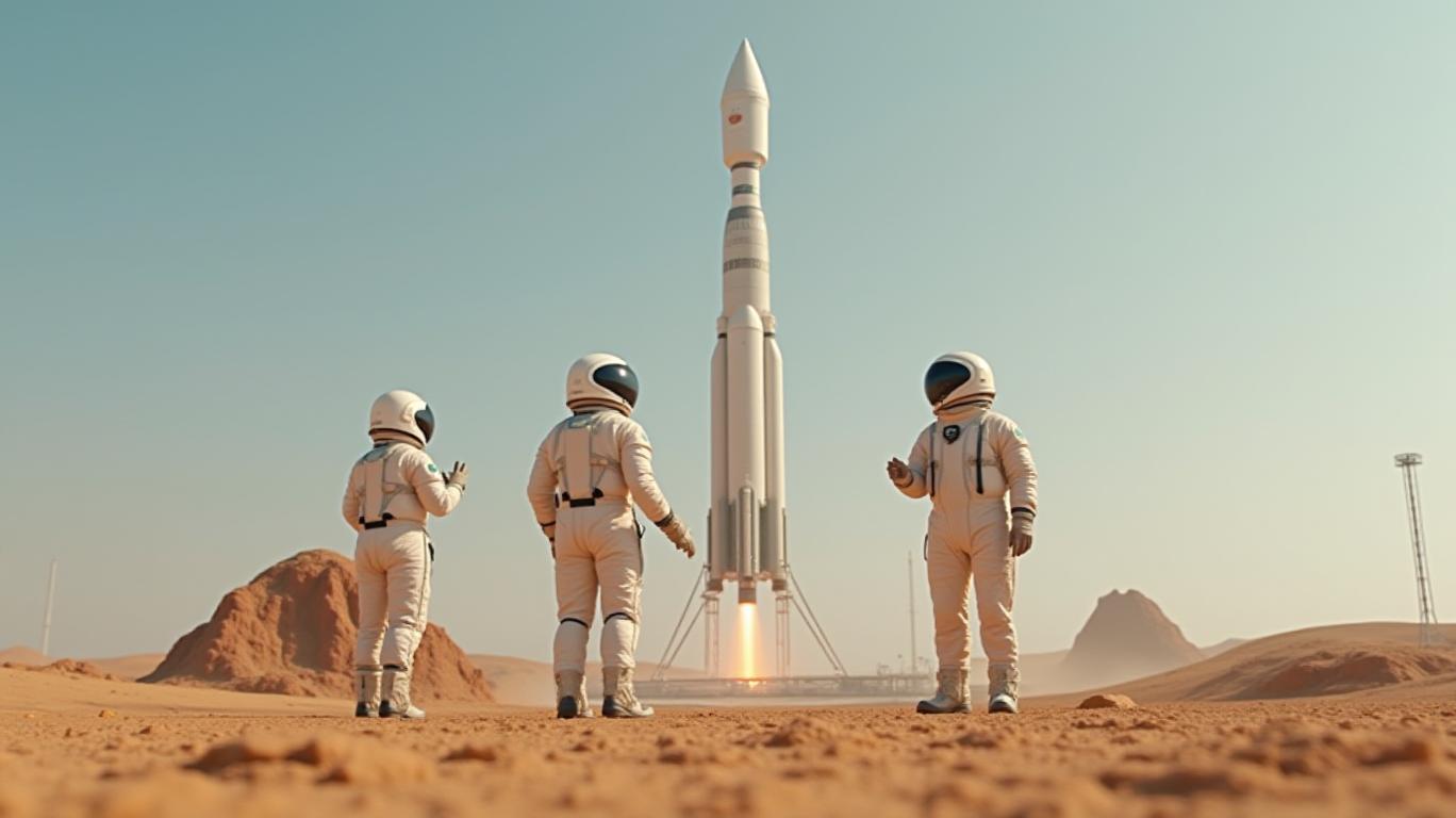
Planet Labs PBC, a leading provider of daily satellite imagery and geospatial solutions, has announced the successful launch of its high-resolution Pelican-2 satellite. This launch marks a significant milestone in Planet's ongoing mission to image the world every day, making change visible, accessible, and actionable. The Pelican-2 satellite joins the existing SkySat constellation, further enhancing Planet's capabilities in high-resolution earth surface imaging and disaster monitoring.
The Pelican-2 satellite is designed to provide up to 40 cm class resolution imagery across 6 multispectral bands, optimized for cross-sensor analysis. This higher resolution enables customers to see finer detailed information and improved locational accuracy, allowing for better classification and characterization of change over time. Additionally, the incorporation of the NVIDIA Jetson platform for on-orbit computing aims to vastly reduce the time between data capture and value for customers, enabling more timely and actionable information.

The launch of Pelican-2 is a significant step forward in Planet's ongoing efforts to expand its high-resolution satellite constellation. With the addition of Pelican-2, Planet plans to launch additional Pelican satellites this year, further enhancing its capabilities in high-resolution earth surface imaging and disaster monitoring. This expansion allows Planet to cater to a broader range of customers and industries, including those requiring high-resolution imagery for critical decision-making, such as defense, intelligence, and emergency management.
In conclusion, the launch of the high-resolution Pelican-2 satellite is a game changer in the earth observation sector. With its higher resolution, reduced latency, and expanded market reach, Planet is well-positioned to better compete with other satellite imagery providers and expand its customer base. As Planet continues to innovate and expand its capabilities, it remains a leading provider of global, daily satellite imagery and geospatial solutions, enabling users to simply and effectively derive unique value from satellite imagery.
Word count: 598
PL--
Planet Labs PBC, a leading provider of daily satellite imagery and geospatial solutions, has announced the successful launch of its high-resolution Pelican-2 satellite. This launch marks a significant milestone in Planet's ongoing mission to image the world every day, making change visible, accessible, and actionable. The Pelican-2 satellite joins the existing SkySat constellation, further enhancing Planet's capabilities in high-resolution earth surface imaging and disaster monitoring.
The Pelican-2 satellite is designed to provide up to 40 cm class resolution imagery across 6 multispectral bands, optimized for cross-sensor analysis. This higher resolution enables customers to see finer detailed information and improved locational accuracy, allowing for better classification and characterization of change over time. Additionally, the incorporation of the NVIDIA Jetson platform for on-orbit computing aims to vastly reduce the time between data capture and value for customers, enabling more timely and actionable information.
The launch of Pelican-2 is a significant step forward in Planet's ongoing efforts to expand its high-resolution satellite constellation. With the addition of Pelican-2, Planet plans to launch additional Pelican satellites this year, further enhancing its capabilities in high-resolution earth surface imaging and disaster monitoring. This expansion allows Planet to cater to a broader range of customers and industries, including those requiring high-resolution imagery for critical decision-making, such as defense, intelligence, and emergency management.
In conclusion, the launch of the high-resolution Pelican-2 satellite is a game changer in the earth observation sector. With its higher resolution, reduced latency, and expanded market reach, Planet is well-positioned to better compete with other satellite imagery providers and expand its customer base. As Planet continues to innovate and expand its capabilities, it remains a leading provider of global, daily satellite imagery and geospatial solutions, enabling users to simply and effectively derive unique value from satellite imagery.
Word count: 598
Divulgación editorial y transparencia de la IA: Ainvest News utiliza tecnología avanzada de Modelos de Lenguaje Largo (LLM) para sintetizar y analizar datos de mercado en tiempo real. Para garantizar los más altos estándares de integridad, cada artículo se somete a un riguroso proceso de verificación con participación humana.
Mientras la IA asiste en el procesamiento de datos y la redacción inicial, un miembro editorial profesional de Ainvest revisa, verifica y aprueba de forma independiente todo el contenido para garantizar su precisión y cumplimiento con los estándares editoriales de Ainvest Fintech Inc. Esta supervisión humana está diseñada para mitigar las alucinaciones de la IA y garantizar el contexto financiero.
Advertencia sobre inversiones: Este contenido se proporciona únicamente con fines informativos y no constituye asesoramiento profesional de inversión, legal o financiero. Los mercados conllevan riesgos inherentes. Se recomienda a los usuarios que realicen una investigación independiente o consulten a un asesor financiero certificado antes de tomar cualquier decisión. Ainvest Fintech Inc. se exime de toda responsabilidad por las acciones tomadas con base en esta información. ¿Encontró un error? Reportar un problema

SOBRE NOSOTROS
Nuestra historiaAutores de noticiasBase de conocimientosPolítica de privacidadTérmino de usoDescargo de responsabilidad de corretaje de tercerosTérminos de uso de AIMEDivulgaciones de riesgos de AInvest AICarrerasCONTÁCTENOS
Email: support@ainvest.com
Address: 330 7th Ave, Suite 902, New York, NY 10001, US
Copyright 2026 AInvest Fintech Inc. All rights reserved.
Comentarios
Aún no hay comentarios