
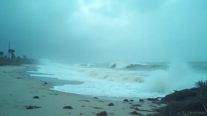
Hurricane Erin Camera Captures Massive Waves as Storm Avoids U.S. Landfall
Hurricane Erin, the first major hurricane of the 2025 Atlantic season, has garnered significant attention due to its impressive size and power. Dubbed "near historical," Erin ranks among the largest storms recorded in the Atlantic, stretching over 500 miles in diameter and generating 80-foot waves across the open ocean. Despite its formidable presence, Erin has mercifully avoided making landfall, though it has left much of the East Coast on high alert with massive waves crashing ashore.
Meteorologist Jarrod Maloney emphasized Erin's sheer magnitude, placing it in the top 10% of the largest hurricanes in Atlantic history. As Erin continues its northeast trajectory, forecasts suggest the storm may further expand, posing ongoing hazards to coastal areas. Analysts predict that Erin, maintaining its classification as a Category 2 storm with sustained winds around 100 mph, will continue to move away from the battered coast of North Carolina but will exacerbate marine conditions along the journey.
North Carolina's Outer Banks area felt the impact of the storm, where waves soared to 20 feet, inundating vulnerable communities. The National Weather Service detailed the precise conditions of these swells, with some reaching up to 40 feet near offshore buoys. The storm's indirect effects prompted precautionary closures of public beaches across East Coast cities, with local governments urging caution and restrictions near impassable roads affected by flooding and sand overwash.
Governor Phil Murphy of New Jersey declared a state of emergency, preemptively responding to forecasts of potential flooding. As Hurricane Erin's effects are expected to linger through the weekend, local authorities have cautioned seaside communities to remain vigilant against rip currents and coastal flooding.
In North Carolina, recovery efforts are underway, focusing on mitigating overwash impacts on key transportation routes like N.C. Highway 12. Although initial assessments have found no pavement damage, areas remain clogged by sand and debris. Crews equipped with heavy machinery are actively working to restore access, though reopening timelines remain uncertain. North Carolina Governor Josh Stein plans to visit impacted areas to appraise the situation and express gratitude to emergency responders.
Despite Erin's alarming size, experts underline the absence of landfall, which has spared many regions from the storm's fiercest conditions. However, its potential for unusually high surf continues to be hazardous. The National Hurricane Center underscores the persistent threat that Erin poses to coastal safety, with the advisory urging caution amid life-threatening surf and rip currents across expansive stretches of the East Coast.
Erin, having brushed past Caribbean territories like Puerto Rico, has gradually weakened from its peak as a Category 5 hurricane. Although the hurricane's core remains offshore, its far-reaching bands have affected the Turks and Caicos Islands and the Bahamas with intense winds and heavy rainfall.
Environmental conditions, such as elevated sea temperatures and reduced wind shear, facilitated Erin's rapid intensification, making it one of the 43 Atlantic hurricanes to reach Category 5 since 1851. Despite its diminishing strength, Erin's expansive wind field and continuous evolution through eyewall replacement cycles remain advantageous factors in heightening its impact.
Forecast models indicate Erin's trajectory will veer away from the U.S. East Coast, with projections for gradual weakening throughout its progression. Nevertheless, Erin’s lingering adverse conditions continue to challenge recovery and emergency management efforts.
In sum, Hurricane Erin has established itself as a meteorological event of historical significance due to its immense size and power. Analysts have reiterated caution and preparedness for communities in its path, reinforcing the importance of heeding advisories and staying alert throughout Erin's passage. As the storm slowly pivot away from the United States, its diminishing presence marks a reprieve for coastal regions but remains a reminder of the unpredictable intensity such natural phenomena can manifest.


Comentarios
Aún no hay comentarios